My day on the track
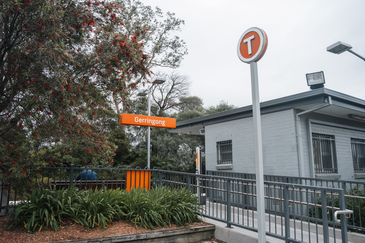
I parked at the Gerringong Whale Watching Platform and tried to order an Uber to Minnamurra, but after 15 minutes of waiting there were no cars available. I ended up walking about 1.2 km to Gerringong Station, catching a train to Minnamurra, and starting from there. You’ll need to change trains at Kiama Station, since it’s a different service that continues on to Gerringong. It didn’t take long, but trains only come about once an hour, so if you miss one, you’ll be waiting a while for the next.
There also seemed to be more Ubers in Kiama than in Gerringong, so if you’re relying on rideshares, try pre-booking one if you can.
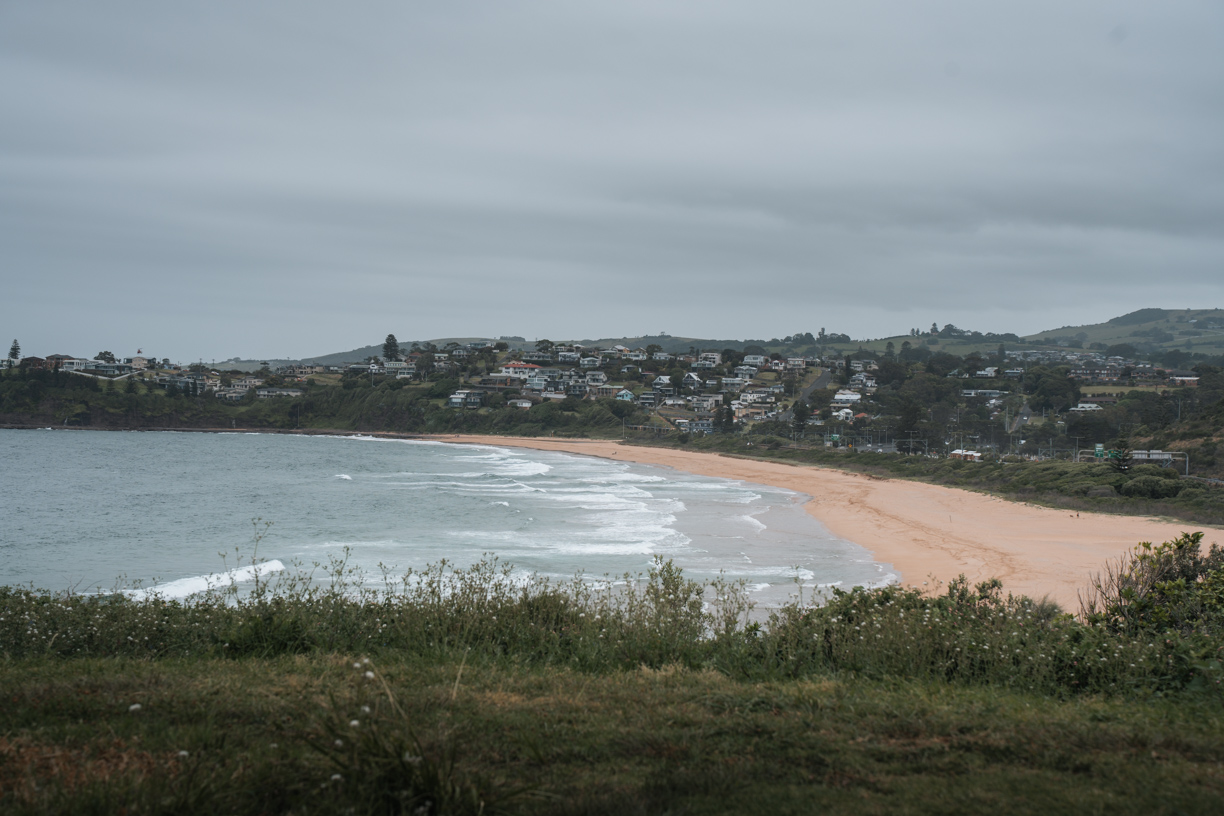
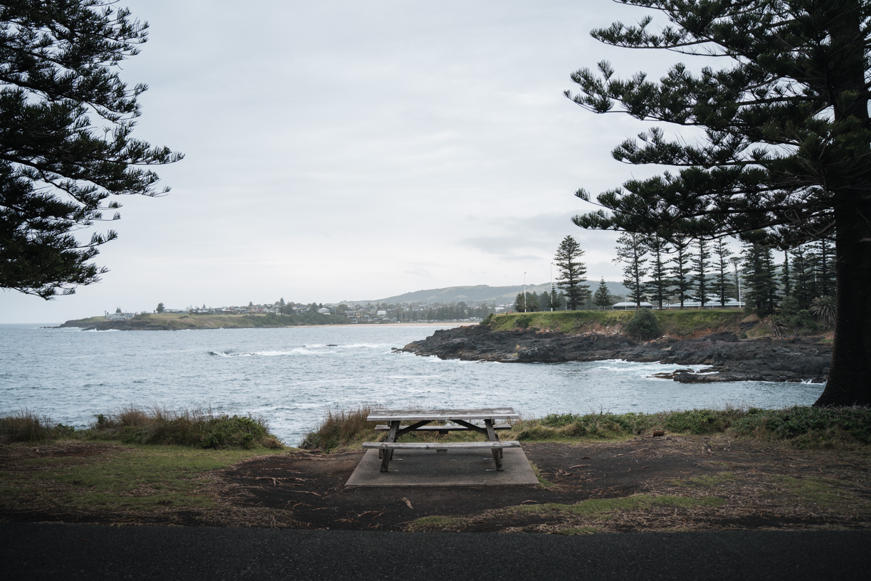
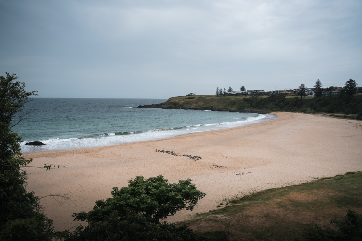
The walk starts at the Minnamurra River, following the coast past beaches, headlands, and residential areas. It’s well-signed but not at every turn, so I checked my map a few times just to make sure I was on track.
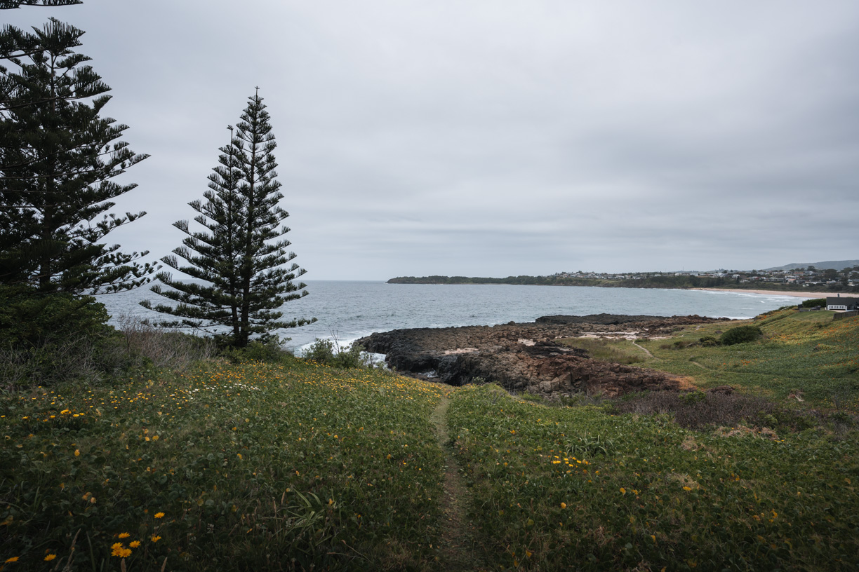
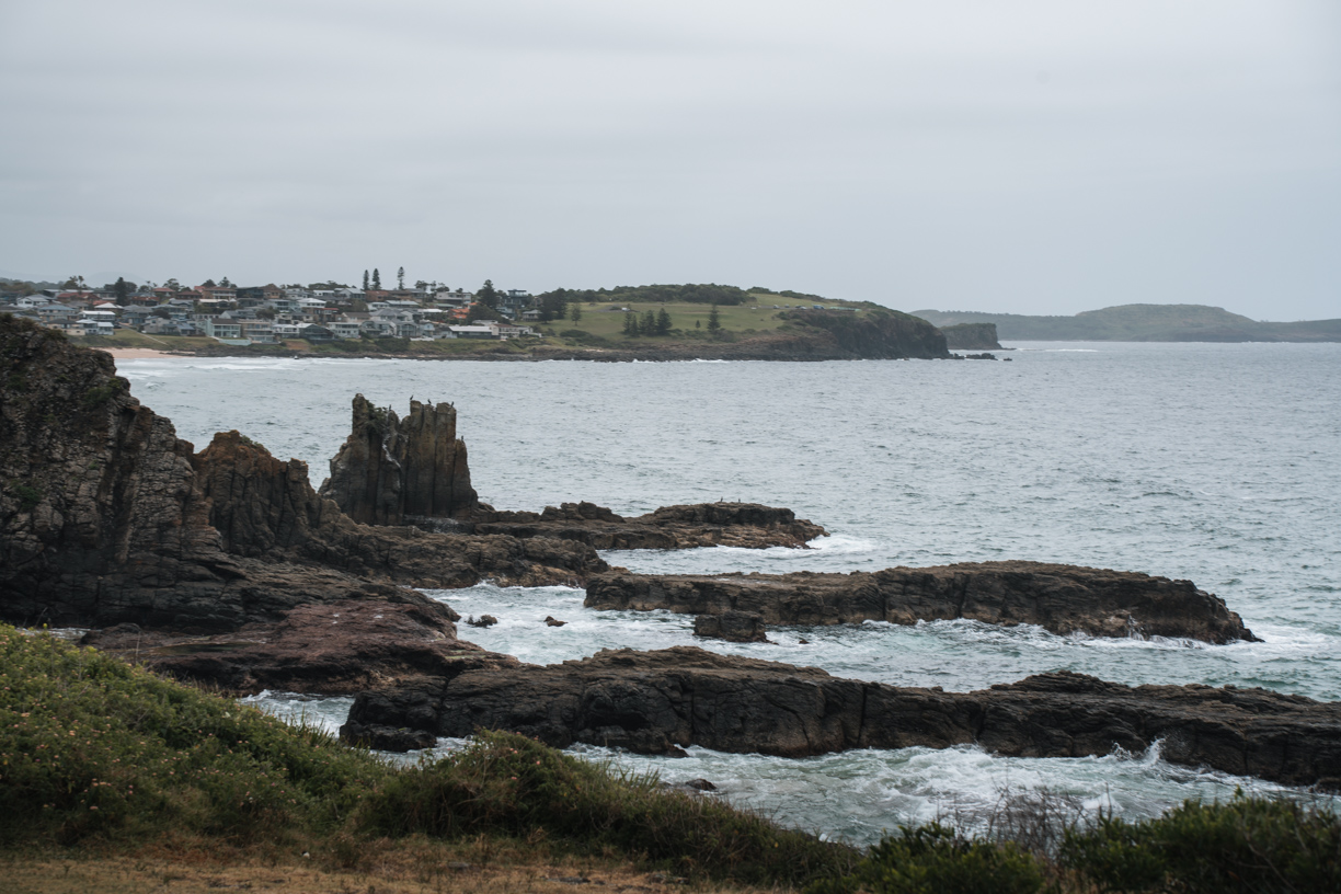
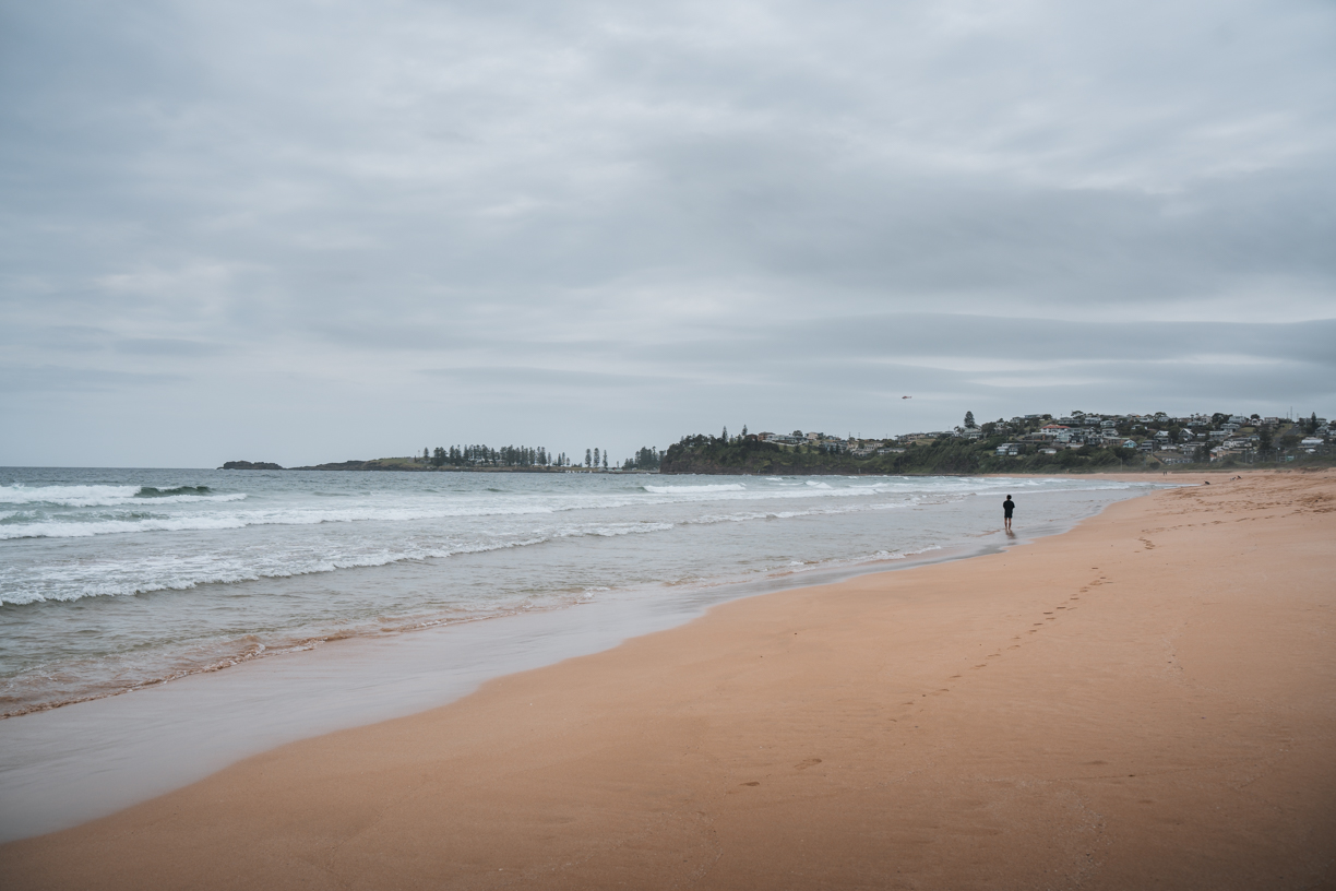
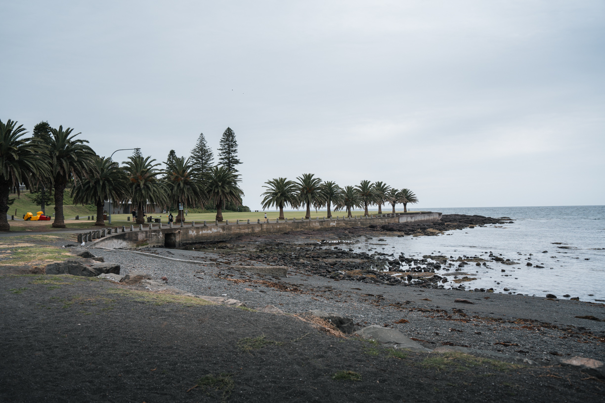
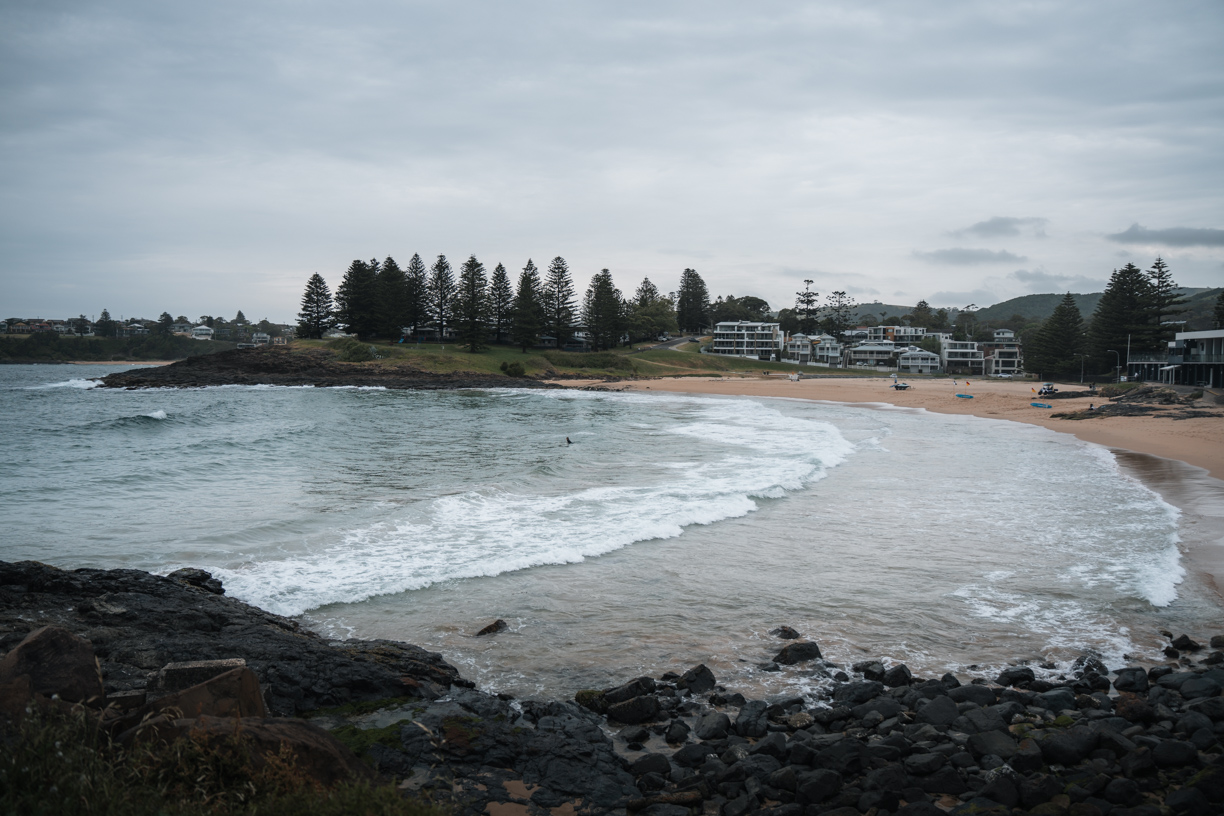
You’ll pass Cathedral Rocks, the Boneyard, Bombo Headland, and Bombo Beach, all stunning and worth stopping for. The basalt columns at Bombo look surreal. After that, you’ll reach Kiama, where you can stop by the Blowhole before continuing past Surf, Kendalls, and Easts Beach.
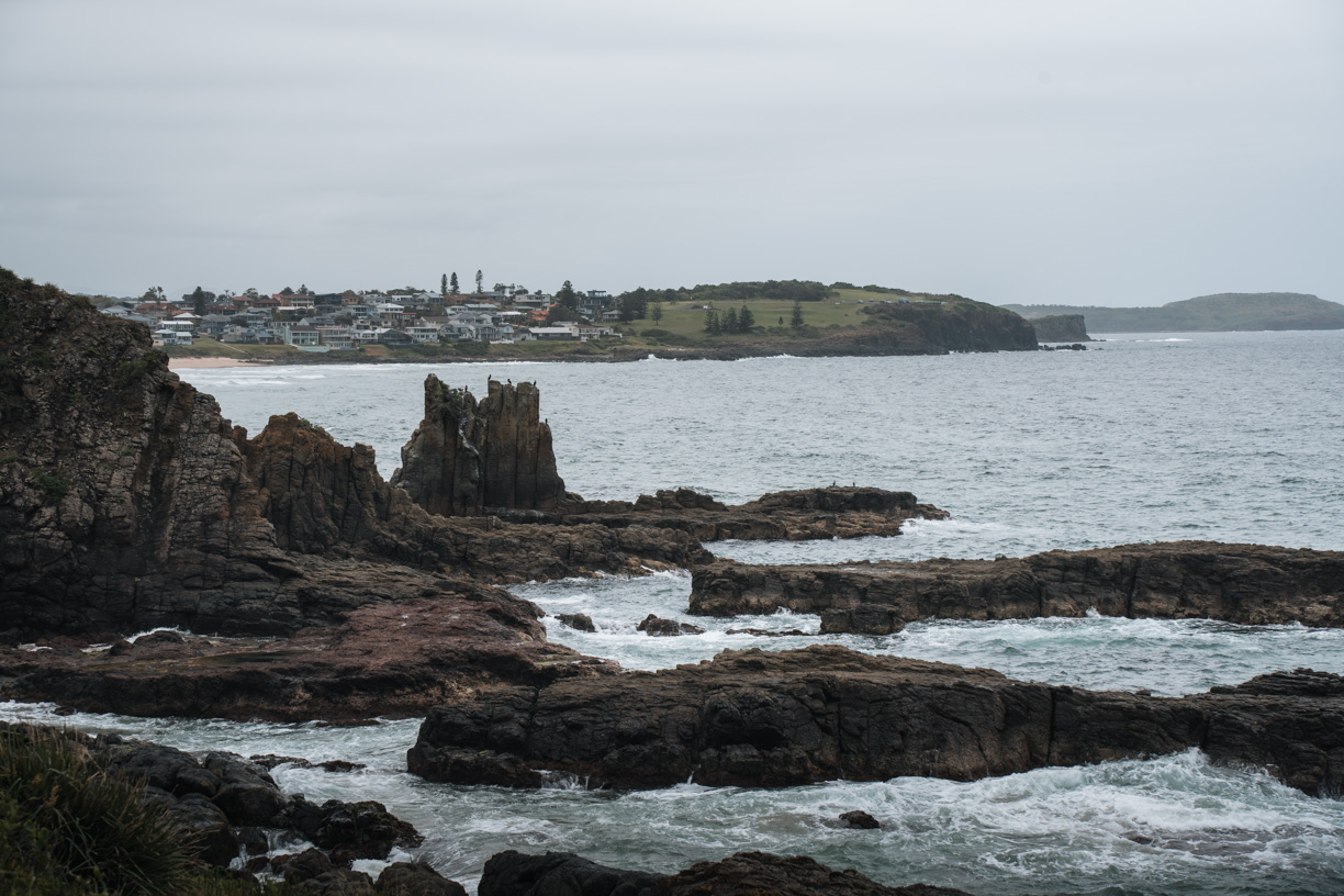
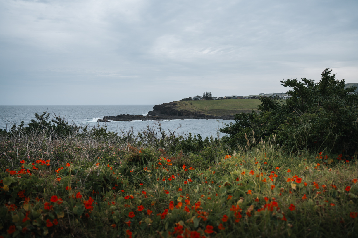
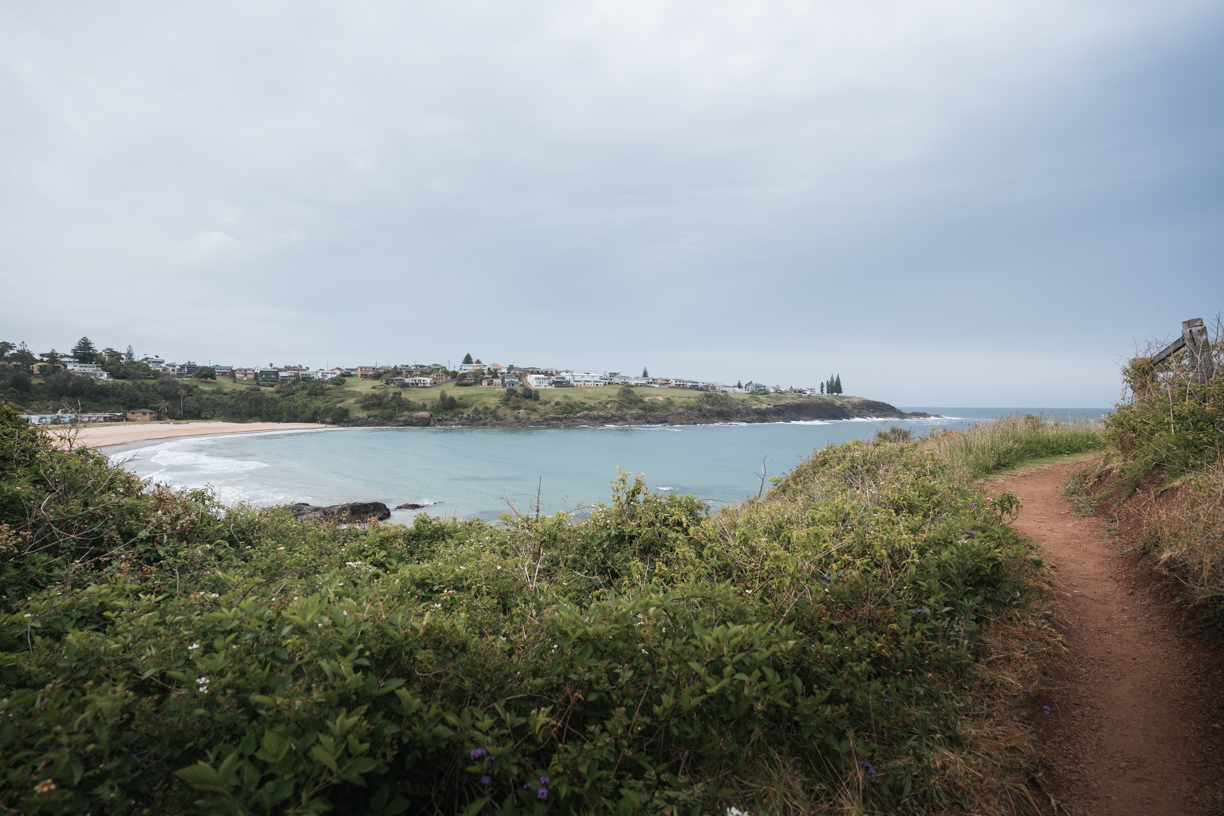
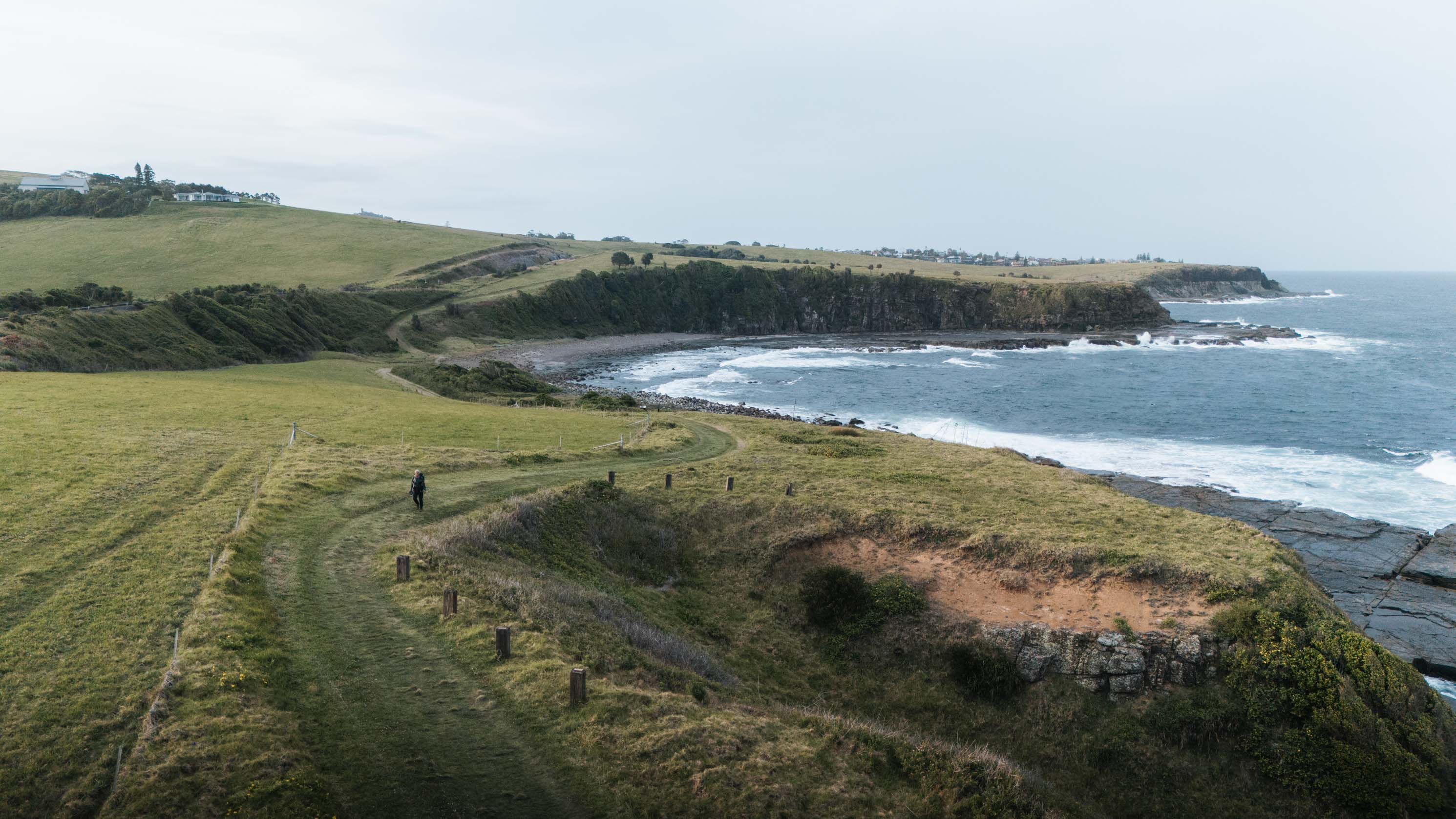
From Loves Bay onwards the trail feels much quieter and wilder. There aren’t as many houses, and the views are incredible. This was easily my favourite section, with rolling hills, ocean cliffs, and peaceful coastal views.

I went on a weekday and still saw a fair few people around the popular spots, but it never felt crowded. There are also loads of toilets along the way, so it’s one of the more convenient full-day walks you can do.
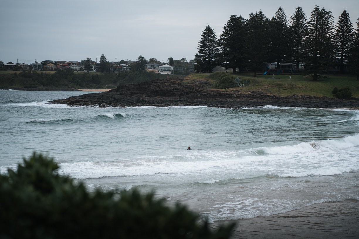
And if you’re walking during whale season (May to October), keep an eye on the horizon. I saw so many whales breaching and cruising along the coast.

Route overview
You can walk the track in either direction or just do one or two sections depending on your time:
- Minnamurra River → Kiama Blowhole (8.5 km): Whale platform views, Jones Beach, Cathedral Rocks, the Boneyard, Bombo Headland and Beach, Kiama Lighthouse and Blowhole.
- Kiama Blowhole → Loves Bay (6 km): Storm Bay, Surf, Kendalls, Little Blowhole, Easts Beach, Kiama Heights, Loves Bay.
- Loves Bay → Gerringong (6 km): Open farmland, cliffs, railway tunnels, and the quiet stretch leading to Werri Lagoon and Gerringong.
These distances are one way.
Logistics that may help
If you don’t have a car shuffle, the train is the best way to do this walk. Park at one end, train to the other, then walk back to your car.
- Train change: You’ll need to change at Kiama Station, since it’s a different service that continues on to Gerringong.
- Frequency: Trains come about once an hour, so plan your start time carefully.
- Rideshare tip: Ubers can be tricky to find in Gerringong. I couldn’t get one after waiting 15 minutes, though it appeared there were some available once I got to Kiama. If you’re set on using rideshare, pre-book it if possible.
- Tides:
- Cathedral Rocks is safest and most impressive at low tide.
- Werri Lagoon can open to the ocean after heavy rain. When it’s open, the water can be too deep to cross safely, so check conditions before you start or call the Kiama Visitor Centre (1300 654 262) for updates.
- Blowholes: The Little Blowhole actually puts on a better show more often, especially in a north-easterly swell.
- Exposure: The southern section from Loves Bay to Gerringong is open and exposed with little shade, so bring sunscreen and a hat.
- Facilities: Plenty of toilets, BBQs, tables and bubblers in the town stretches.
- Crowds: Expect more people around Kiama Blowhole, Surf Beach, and Kendalls. The rest is much quieter.