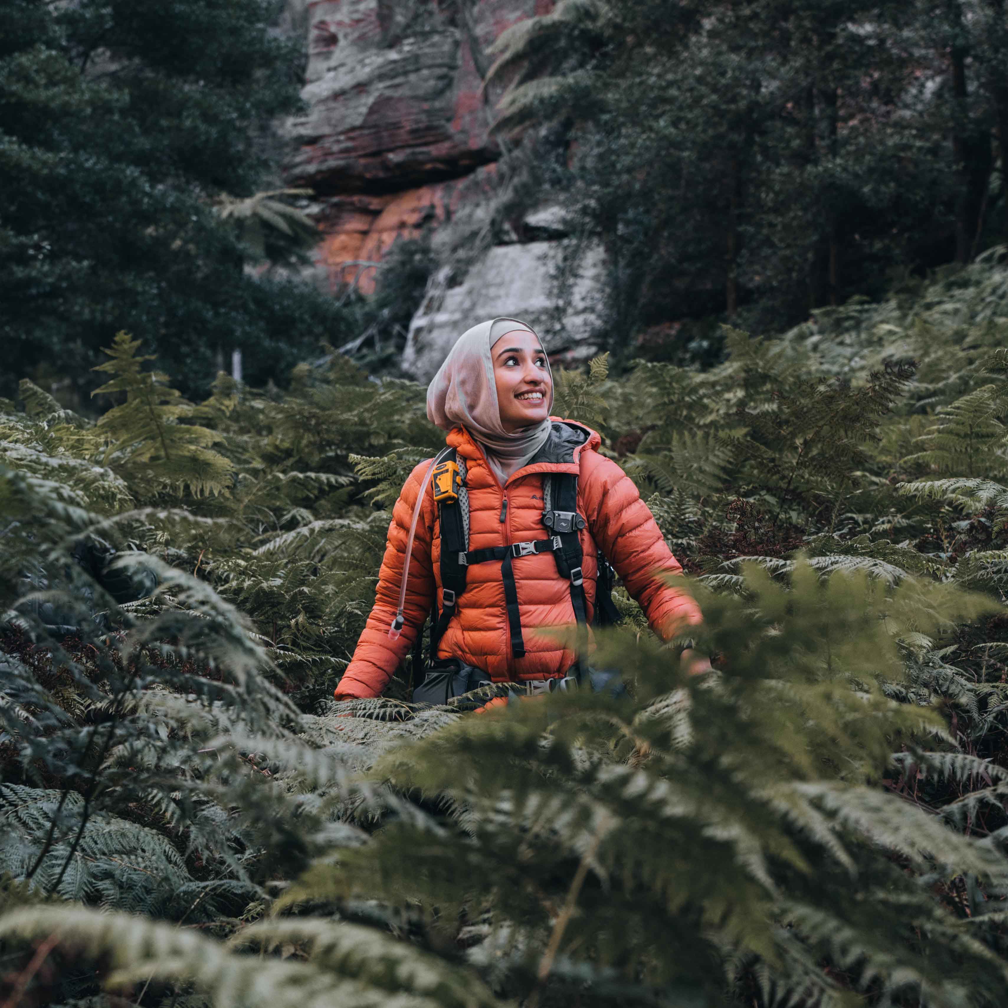
Mt Solitary is one of those hikes you can see clearly from the lookouts in Katoomba. It's a long, flat-topped mountain sitting in the middle of the Jamison Valley. I did it as a full day hike in winter, which is absolutely possible, but ideally you'd want to start early if you don't want to be hiking in the dark.
The hike starts with the Golden Stairs, a steep descent into the Jamison Valley. It's rough underfoot in places but nothing technical. Once you're down, the valley floor is a long flat walk through good bush. The path is clear and pretty easy to follow the whole way. It looks shorter from the top than it is. I passed around 15 overnight campers heading back out as I was heading in, and that was on a weekday, which says a lot about how much busier this track has gotten.

Ruined Castle is worth the climb and there's a specific thing to know before you get there. As you reach it you'll find a few pathways leading up to the rocks, and it's not the first couple you come to. The easiest way up is through a gap you squeeze between two rocks (see the photo for what to look for).

If you're carrying a pack you may need to take it off, the easiest approach solo is to throw your bag through first, squeeze through, then grab it on the other side. Once you're up, you get a clear view of Mt Solitary ahead and back toward Katoomba. I climbed it on the way out and again on the return at sunset, and the second time was the better of the two. The views at sunset were incredible.

From Ruined Castle, the track continues to Mt Solitary via the Korowal Knife Edge, a narrow ridge that requires your hands in places. This is the scramble section but the navigation is actually much easier than it sounds. There are clear arrows and markers going up the Mt Solitary section, so you're never guessing which way to go. I didn't find the route-finding hard at all. Some sections need two hands to pull yourself up, but it's very doable solo if you're used to hiking. If you're newer to hiking, going with someone who has experience is a good call for this section specifically.


The actual summit plateau is flat and forested. The views from the top are blocked by trees, which is a slight anticlimax after everything it takes to get there. The Knife Edge on the way up is the better view.
I extended to Chinamans Gully, the main campsite, and it turned out to be a great decision. The campsite sits in a sheltered clearing near a creek. A short walk from the clearing brings you to Melvilles Lookout, which looks out over the southern Blue Mountains and Lake Burragorang in the distance. It was honestly one of the most beautiful lookouts I've come across in a long time. A completely different perspective to anything you see on the standard route, and well worth the extra distance if you have the time and legs for it.

Day hike or overnight?
Both are worth doing, but they're different experiences. As a day hike, you're committing to a full push. The standard route and back is 18 to 21 km. Allow 7 to 10 hours. In winter, that means an early start.
There's no water on this trail so you should carry 3 litres minimum. As of today, Glenraphael Drive is still closed, so you can park on Cliff Drive near Narrow Neck Lookout and walk a section along Narrow Neck to reach the start of the track. If you're coming from Sydney without a car, the trail is about 4km from Katoomba Station.
If you're after a long day hike to push yourself a bit, this is a great one for it. Personally I like doing tracks like this to train and build fitness, and Mt Solitary delivers on that, the distance, the elevation, and the scramble all add up to a proper day out.
Mt Solitary makes sense as a popular track. The Knife Edge is super fun, Chinamans Gully and Melvilles Lookout are better than most guides give them credit for, and Ruined Castle at sunset on the way back was a proper highlight. It earns the hype.